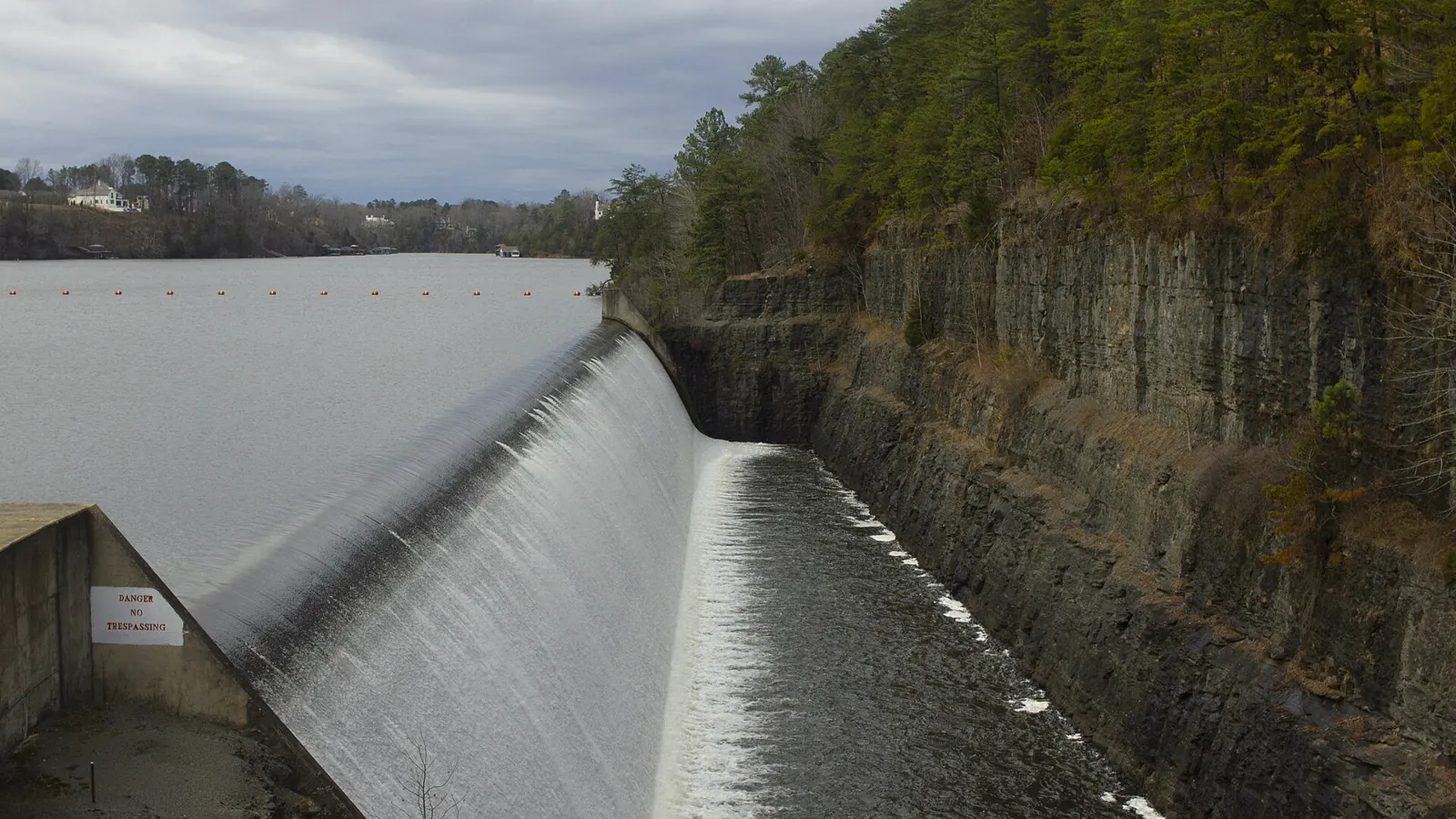
Tuscaloosa County is home to the city of Tuscaloosa, which is also the county seat, and to the university that anchors its economy. Beyond Tuscaloosa and Northport the county is largely working timberland, hunting ground and rural homesites on the Black Warrior River system, with Lake Tuscaloosa and Holt Lake nearby.
Communities in the county include Northport, Brookwood, Vance, Cottondale, Coker, Holt, Taylorville and Lake View.
Land We Look At in Tuscaloosa County
Pine plantations and timber
Large tracts west and south of the city are managed for loblolly pine and mixed hardwood, with logging roads and creek drainage affecting access.
Hunting and recreational land
Deer and turkey country is common across rural parts of the county, especially in the creek bottoms and hardwood stands north of Northport and near Brookwood.
Lake and river-area parcels
Lake Tuscaloosa, Holt Lake and Bankhead Lake on the Black Warrior River draw buyers who want waterfront or water-view lots.
Local Notes
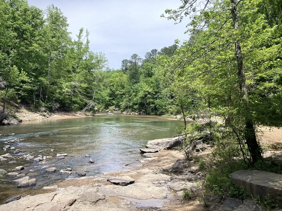
- Tuscaloosa and Northport sit on opposite banks of the Black Warrior River, with Brookwood, Vance and Cottondale in the surrounding county.
- Interstate 20/59 runs northeast to southwest through the county, and U.S. 82 and U.S. 43 are other main routes.
- Lake Tuscaloosa, Lake Lurleen, Holt Lake and Bankhead Lake are well-known water features.
- Pine plantations, hunting land and river-area homesites are common land uses outside the cities.
Growth Areas
Development has concentrated in Northport, the Cottondale and Vance areas along Interstate 20/59, and the neighborhoods around the university. Industrial and automotive-related employment in the east side of the county has added housing demand along those corridors.
Terrain, Flood and Zoning Notes
The county straddles the geologic transition between the foothills of the Appalachians to the north and the flatter Coastal Plain to the south, so land can be hilly with rock in the north and rolling pine ground elsewhere. The Black Warrior River, Hurricane Creek and North River floodplains matter for low ground, and public water-supply watersheds around Lake Tuscaloosa add development limits. Tuscaloosa, Northport and other municipalities zone their own land; unincorporated land has far fewer use restrictions.
General information only. Confirm zoning and flood status for a specific parcel with the county.
County Resources
- County website
- Tax Assessor
- Alabama county GIS and parcel maps
- Alabama Department of Revenue property tax
These are public government resources. We are not affiliated with them.
Selling Without a Listing
Timber stands, hunting leases and watershed location all affect value. Share what you know about the parcel in the form and we will take it from there.
There is no realtor and no fee, and you pick the closing date. Our guide to selling Alabama land without a realtor covers records, taxes and closing.
Get a Free, No-Obligation Cash Offer
Tell us about your Alabama land. We'll send a fair, written cash offer.